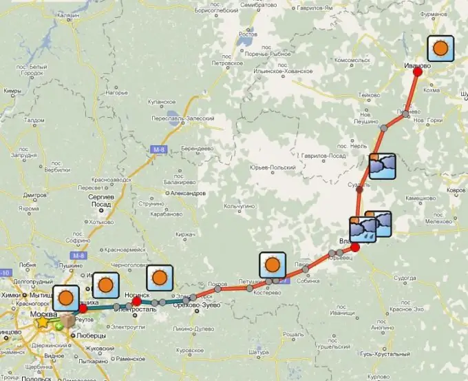
Maps - scaled images of the terrain, made in conventional topographic symbols. Strict compliance with the scale allows you to lay routes along them, calculate the distances between the nodal points of the path and thereby determine the time required to complete this route. You can get directions on the map by going on a hike or going on a car trip, and it is not at all difficult to do this.

Instructions
Step 1
If the map is printed in paper form, then the scale must be indicated on it - the ratio of the distance on the map to the real distance on the ground. The numbers 1: 10000 mean that 1 cm on the map corresponds to 100 meters in reality. The smaller the number after the one, the larger the scale and the more detailed your map will be. On maps with a scale of 1: 25000 and larger, you can even see hiking trails.
Step 2
In the event that you are going to move on foot over rough terrain using existing roads and trails, then you need a large-scale map where they are plotted. It also requires knowledge of the topographic symbols, which are usually indicated in the legend of this map. Thus, hiking trails on them are traditionally marked with dotted lines, roads with asphalt surfaces - with two continuous parallel lines. Find the starting and ending points of your route on the map and plot it using the symbols. By knowing the scale, you can also determine the distance you will have to travel and estimate the travel time and the required supply of provisions.
Step 3
Today it has become much easier for motorists to create a route. There are many sites on the Internet where, having set the starting and ending point of the path, you can follow and places where you can stop and have a snack, tire fitting points and even traffic police posts. Of course, on such a map, the distance from the starting and ending points will be determined automatically with a high degree of accuracy - up to 1 km.


