Many people need to determine the distance between cities or the starting and ending points of a path. This parameter is of interest to logisticians who are engaged in the supply of goods, auto travelers and companies that specialize in the delivery of goods. You can find out this distance by having a topographic map at hand, it does not matter in what form - on paper or in electronic form.

Instructions
Step 1
Decide for what purpose you want to know the distance between cities. If you are an air traveler and want to know the duration of your flight, then you just need to determine the distance in a straight line between these cities. But, usually, finding out this distance is required taking into account the roads or railways laid between these cities. It will, of course, be greater than the straight line distance.
Step 2
If you do not have access to the Internet and you have only a paper-based map, then mark the start and end points of your route on it. Check out the conventional signs indicating the transport infrastructure - trunk and highways, railways. Use the ruler to plot a route, straightening it on the map. Calculate the sum of the segments of the resulting polyline. Each paper map should have its scale indicated. Multiply its value by the number of centimeters measured and convert the result to kilometers.
Step 3
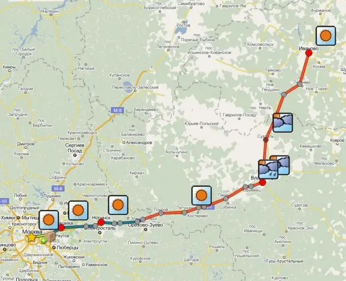
There are many sites on the Internet where, in order to find out the distance between two cities by road, it is enough to enter the name of the point of departure and destination in the appropriate fields. As a result of the request, you will receive a virtual map with a detailed route printed on it. In the information accompanying the map, you can see the distance between settlements through which your path will pass and the total value of the distance that you will cover along the indicated route. You can even be given a weather forecast for key settlements and indicate places where you can stop for rest or just have a snack.
Step 4
You can plan a route yourself using well-known geographic information services provided by Yandex or Google. Using satellite images, a map or a hybrid of these two images as a cartographic background, you can mark all points of your route and immediately see the value of the distance between them and the total length of the path.


